Mastering the South Island Alpine Road Trips
Published by SouthernPeak Travel Team • Updated for 2025
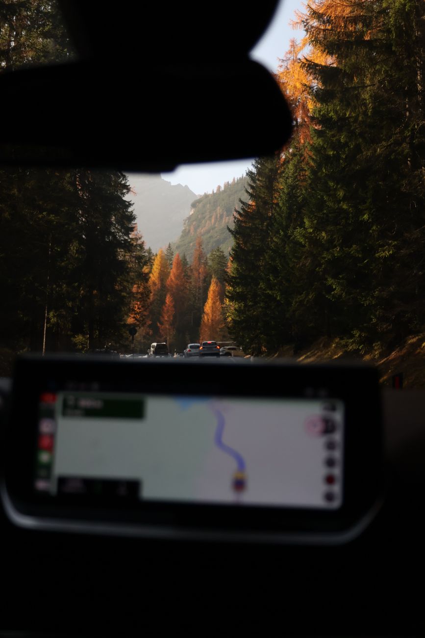
Driving across New Zealand's South Island offers some of the world's most breathtaking scenery. However, navigating mountain routes like the Crown Range (the highest paved main road in NZ), Lindis Pass, and Arthur’s Pass requires careful preparation and awareness of changing alpine conditions.
1. Understanding Mountain Conditions
Alpine roads can experience rapid weather shifts year-round. While winter (June to August) brings ice and snow requiring snow chains, spring and autumn can also feature severe rainfall or sudden frost. Always check the NZ Transport Agency (Waka Kotahi) road warnings before setting off.
2. Key Passes You Will Encounter
- Crown Range Road: Links Queenstown and Wanaka. Tight switchbacks require slow speeds and confidence.
- Lindis Pass (SH8): Connects the Mackenzie Basin with Central Otago. Tussock-covered hills offer iconic views, but winter black ice is common.
- Arthur’s Pass (SH73): Spectacular viaducts crossing the Southern Alps between Canterbury and the West Coast. Watch for native Kea parrots at lookouts!
"Never rush a South Island driving leg. Allow at least 25% extra time beyond GPS estimates for photo stops and winding roads."
3. Essential Driving Rules for Visitors
In New Zealand, traffic travels on the left-hand side of the road. Keep left at all times, respect single-lane bridges by checking priority arrows, and utilize slow vehicle bays to allow faster traffic to pass safely.
Need help building your South Island route?
Get a customized drive plan tailored to your vehicle and preferred pace.